Initial Idea
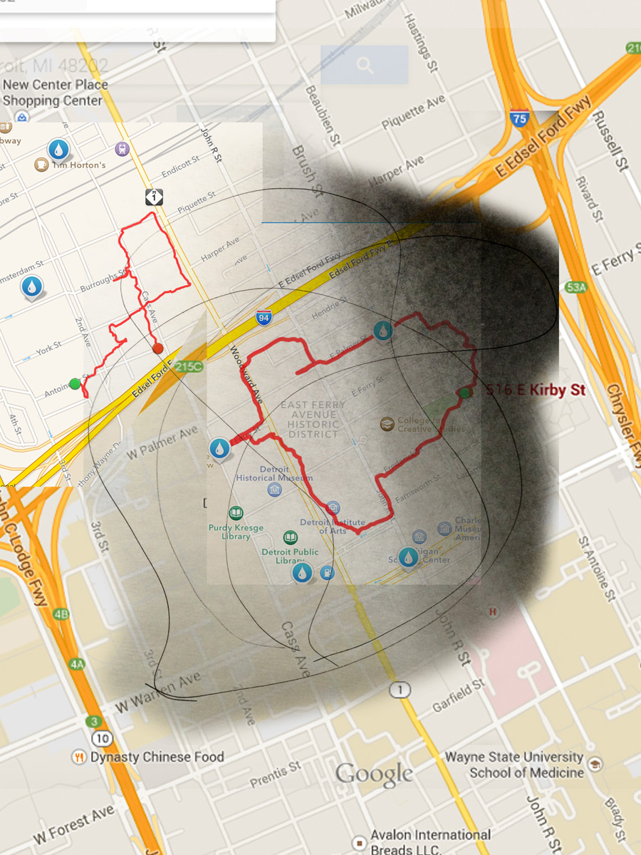
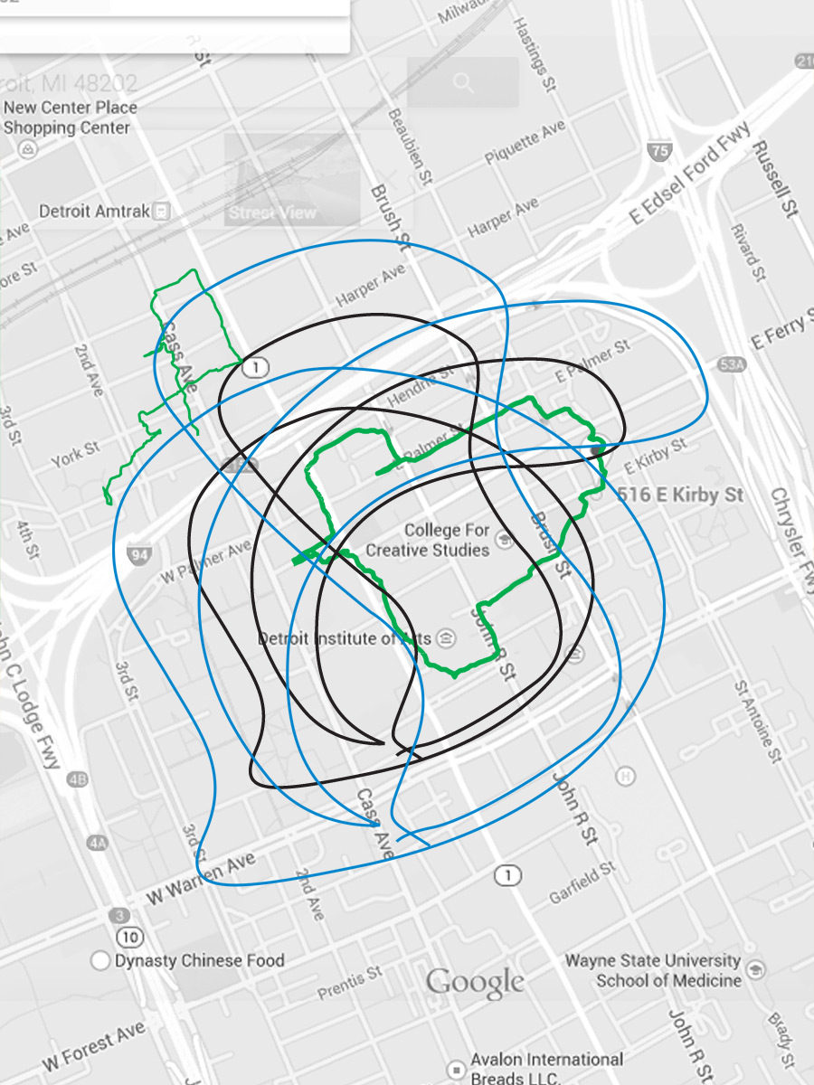
For the first part of our chance project, we happened to look at surrealism and were intrigued by the concept of automatic drawing. These drawings were produced by automatism, the performance of actions without conscious thought or intention. Surrealists would draw this way to tap into their subconscious, and the products were curvy, dream-like and often contained long flowing lines.
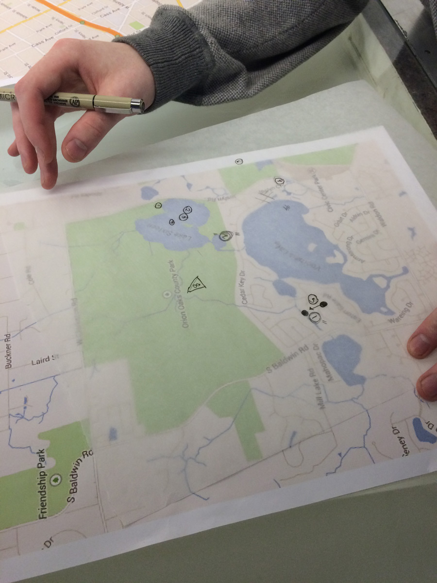
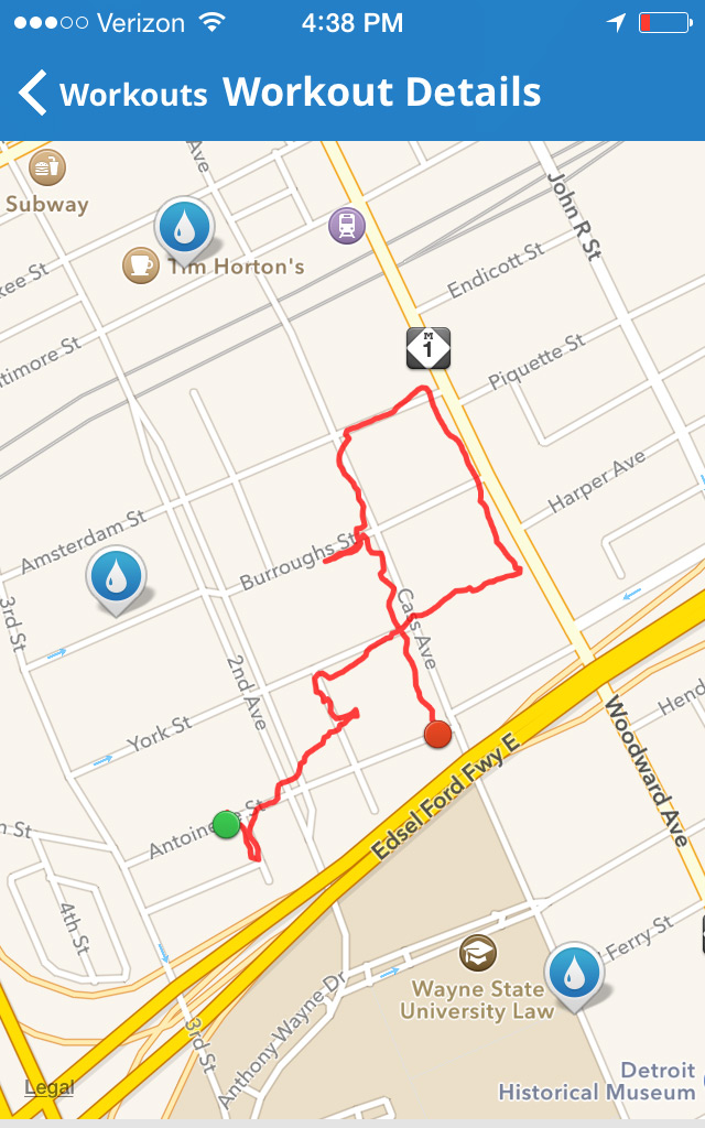
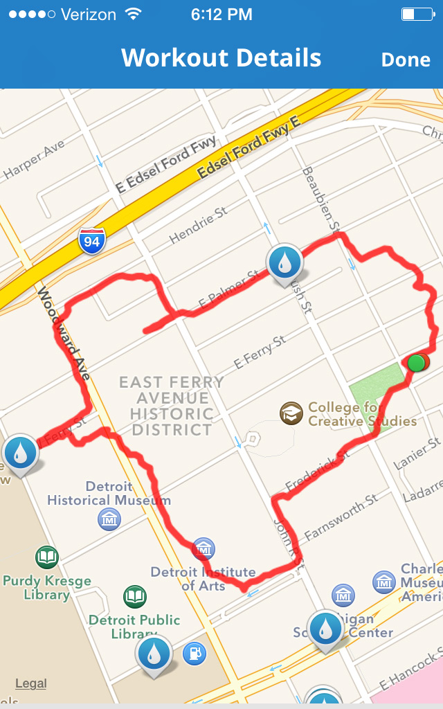
When the next part of the project had us choose twelve locations using a chance process, we had the idea to take the flowing lines of automatisms and apply them to maps. We then walked the paths they created, as well as possible, to find our locations. We ended up exploring several in a new way by taking paths untraveled.
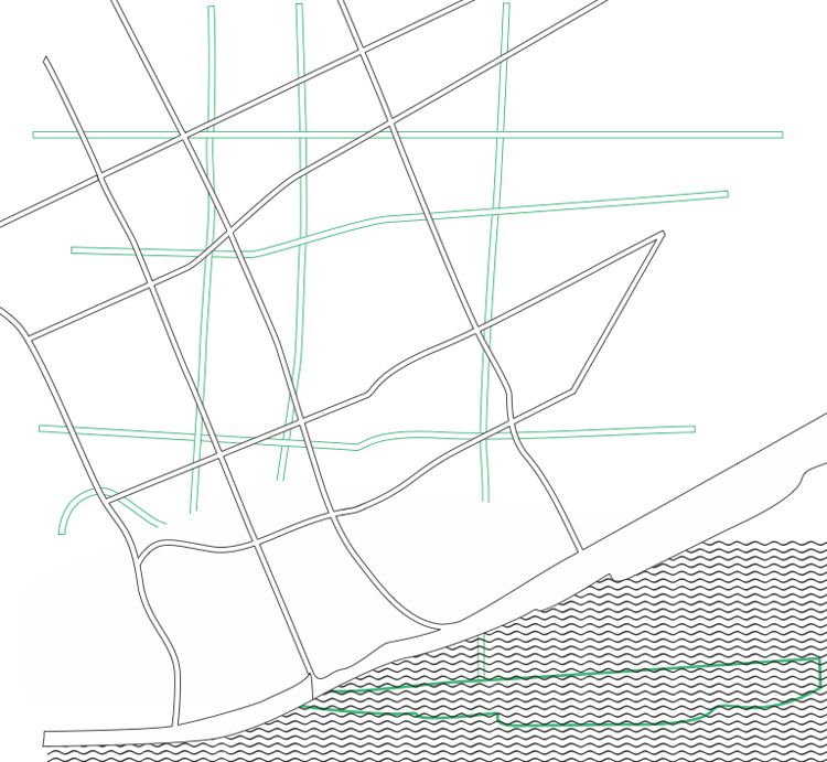
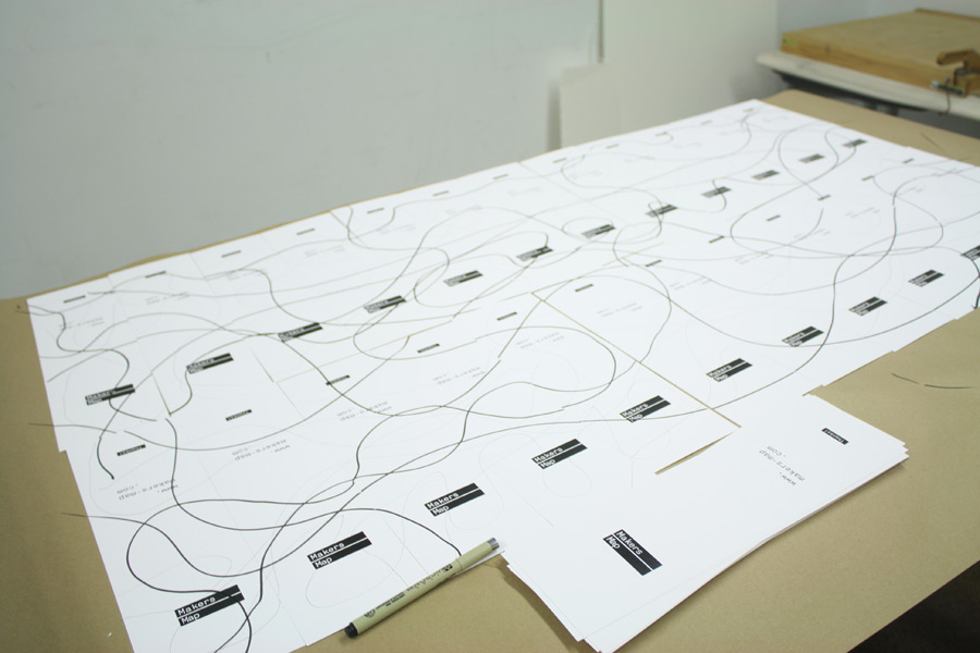
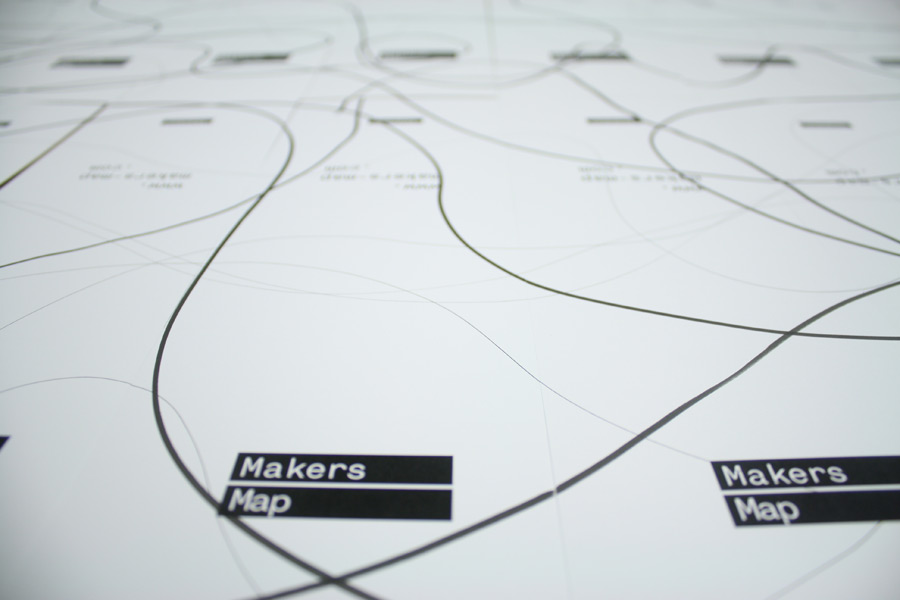
This exercise led us to want to explore the idea of detours. We felt detours related to our automatism walks as both take you off a beaten and intended path. We took our project downtown to try and get favorite places in the area from people, and how they might get there without using a regular route. To do so, we took all the streets out of the downtown area, and presented that blank map to our participants to get them to draw a direct route too and from their locations. Our intent was to then make detour signs, to take new people on the routes created by the people we surveyed.
The survey asked people to tell us a place to eat, a place to find something new, a place to relax, and a place that is special to them. We then asked that the participant would mark these places on our blank map, and then to draw flowing lines to connect them - disregarding the streets. Unfortunately, the cold weather made it difficult to survey people. We thought this may effect the want of people to take a detour walk as well, so we switched focus.